people
GIFTS Lab (Geospatial Intelligence for Future Technology and Sustainability Lab) & members
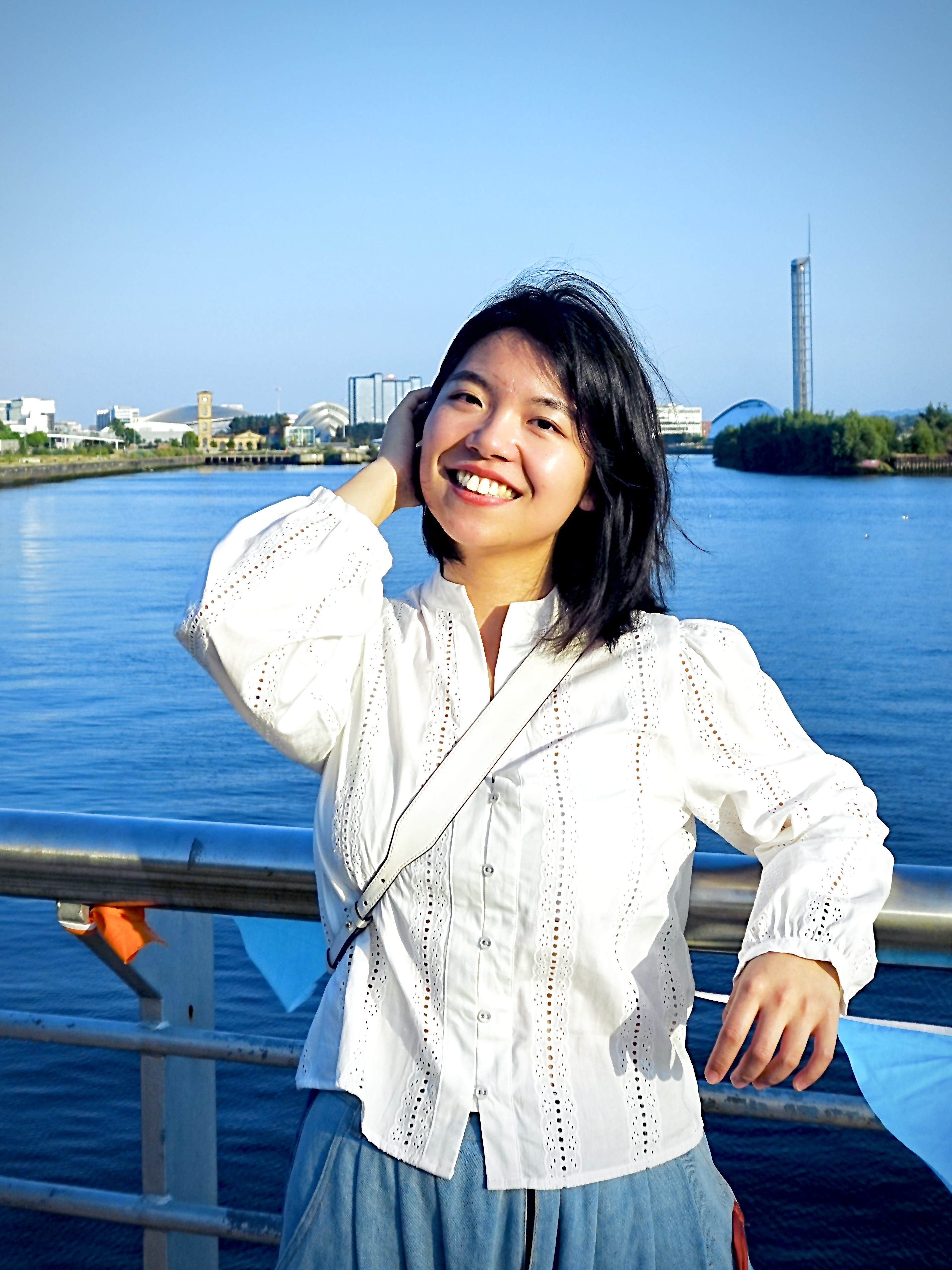
I lead GIFTS Lab and direct the MSc in Geospatial Data Science & AI at the University of Glasgow. My research develops spatially explicit multimodal learning and GeoAI foundation models, including methods for fairness, privacy and interpretability. Applications include urban analytics, remote sensing, transport resilience, 3D digital twins, human mobility and social and environmental sustainability.
Yueting Wang
PhD student · September 2026 · First supervisor: Meiliu Wu
Yueting’s research is Beyond AlphaEarth Foundations: Fine-resolution Mapping and Tracking Global Coastal Vegetated Ecosystem Change.
Eleanor Downie
PhD student · Joined 1 September 2026 · First supervisor: Meiliu Wu
Eleanor’s research focuses on AI-driven satellite embeddings for fine-resolution mapping and tracking invasive species on global reclaimed lands. We are excited to welcome her to GIFTS Lab!
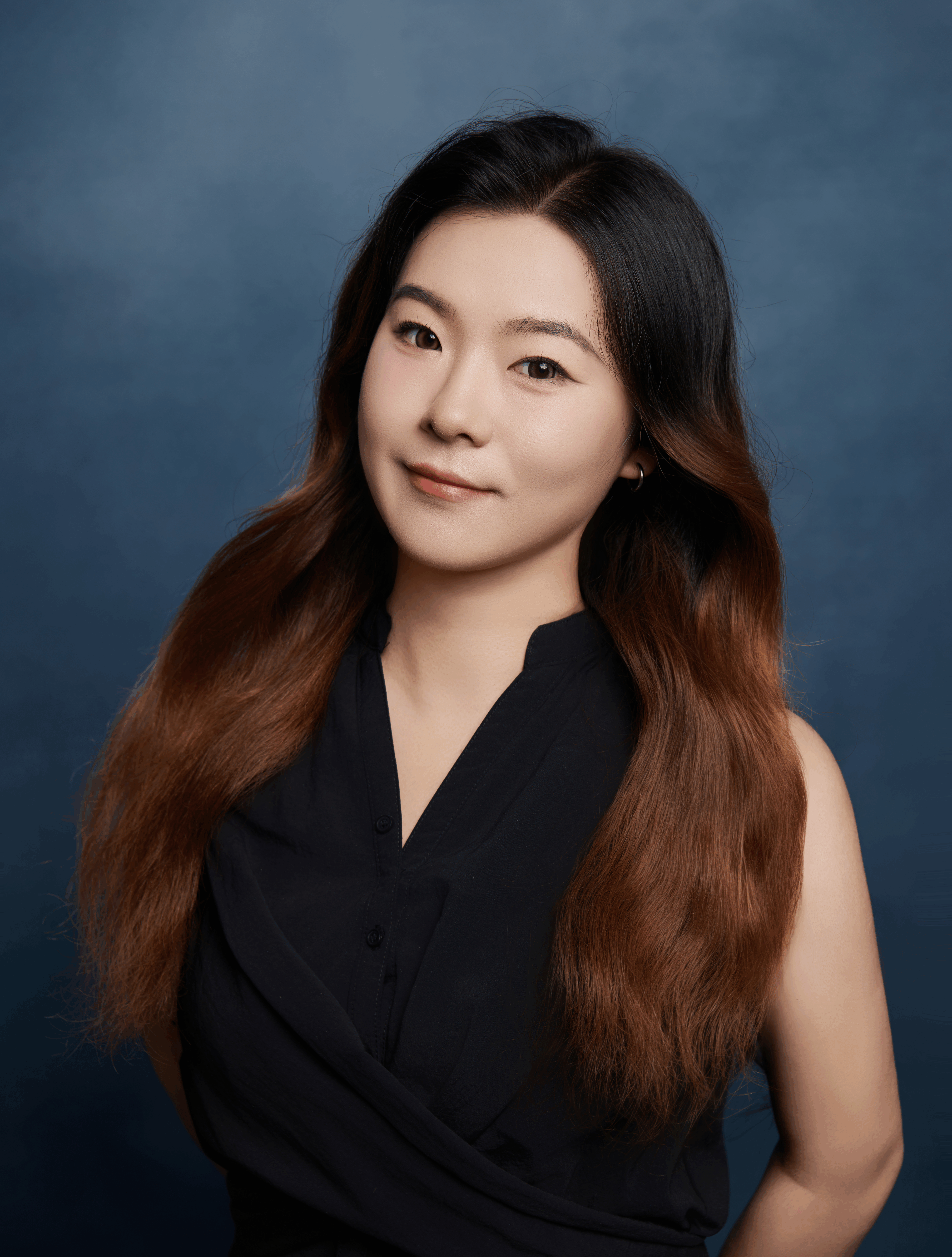
Fengjiao Li (PhD student) (link to profile)
My research lies at the intersection of Geospatial Artificial Intelligence (GeoAI), spatial statistics, and machine learning, with a particular focus on developing advanced Graph Neural Network (GNN) models for analyzing spatial and dynamic population processes. Drawing on my statistical training, I aim to create interpretable, robust, and scalable methods for understanding how populations move and how diseases spread over space and time.
My current doctoral project focuses on embedding spatial structures, population mobility, and temporal dynamics into graph neural networks to support health risk analysis. I work on integrating statistical reasoning with AI-driven models to improve epidemic modeling, health risk prediction, and intervention planning.
By combining insights from graph neural networks, statistics, epidemiology, and geospatial data science, I strive to develop data-driven tools that are not only technically rigorous but also practically useful for public health decision-making.
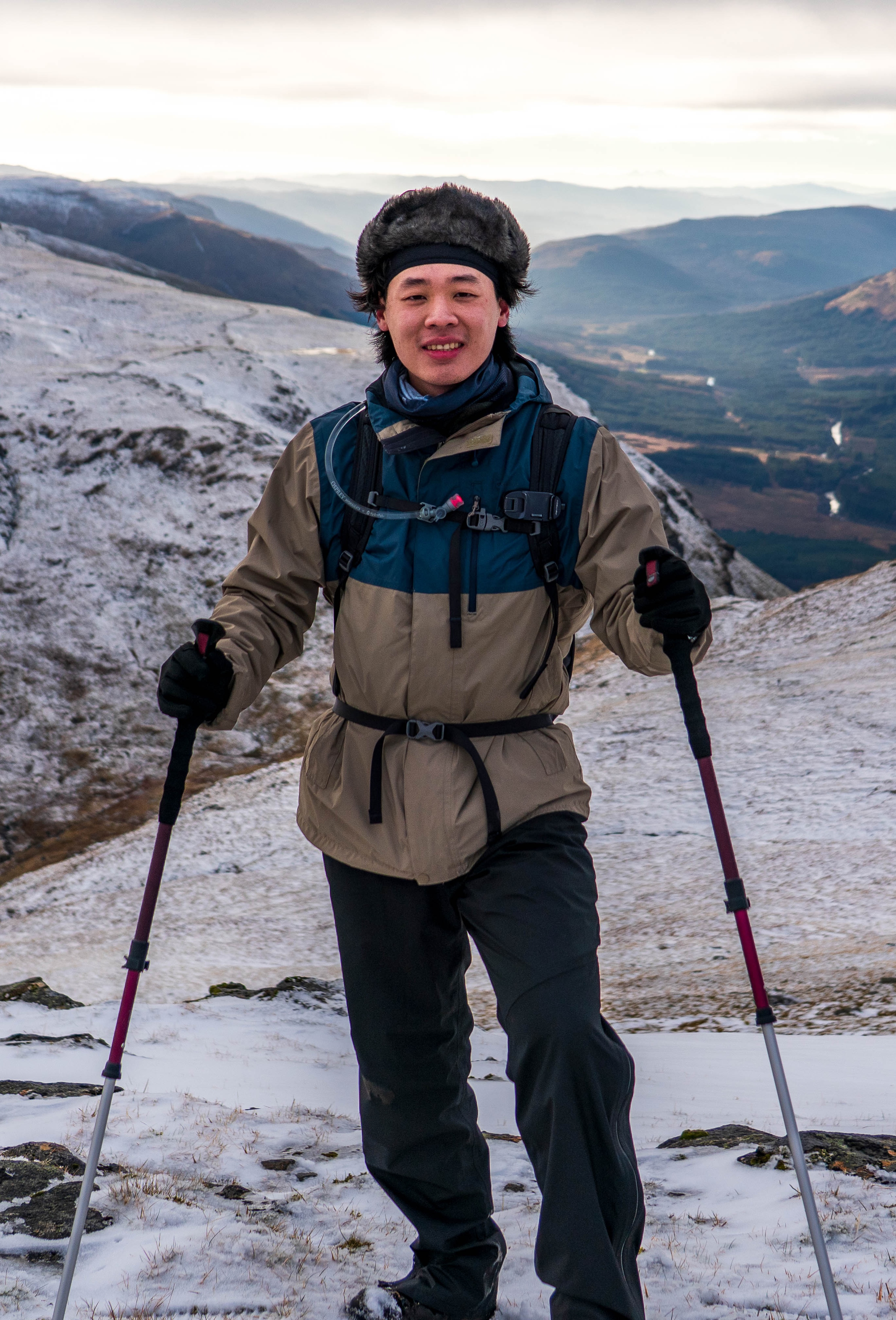
Shunyu Yao (PhD student)
I am a PhD student researching at Geospatial Artificial Intelligence (GeoAI), with a BS and an MS in human geography. Specifically, my research focuses on Ethical GeoAI, particularly enhancing fairness, privacy, and interpretability from a data perspective.
My current work centres on GeoAI debiasing, e.g., identifying and measuring geospatial bias of foundation models (FMs), quantifying FMs’ understanding of spatial heterogeneity, and exploring how to mitigate these biases from the input data.
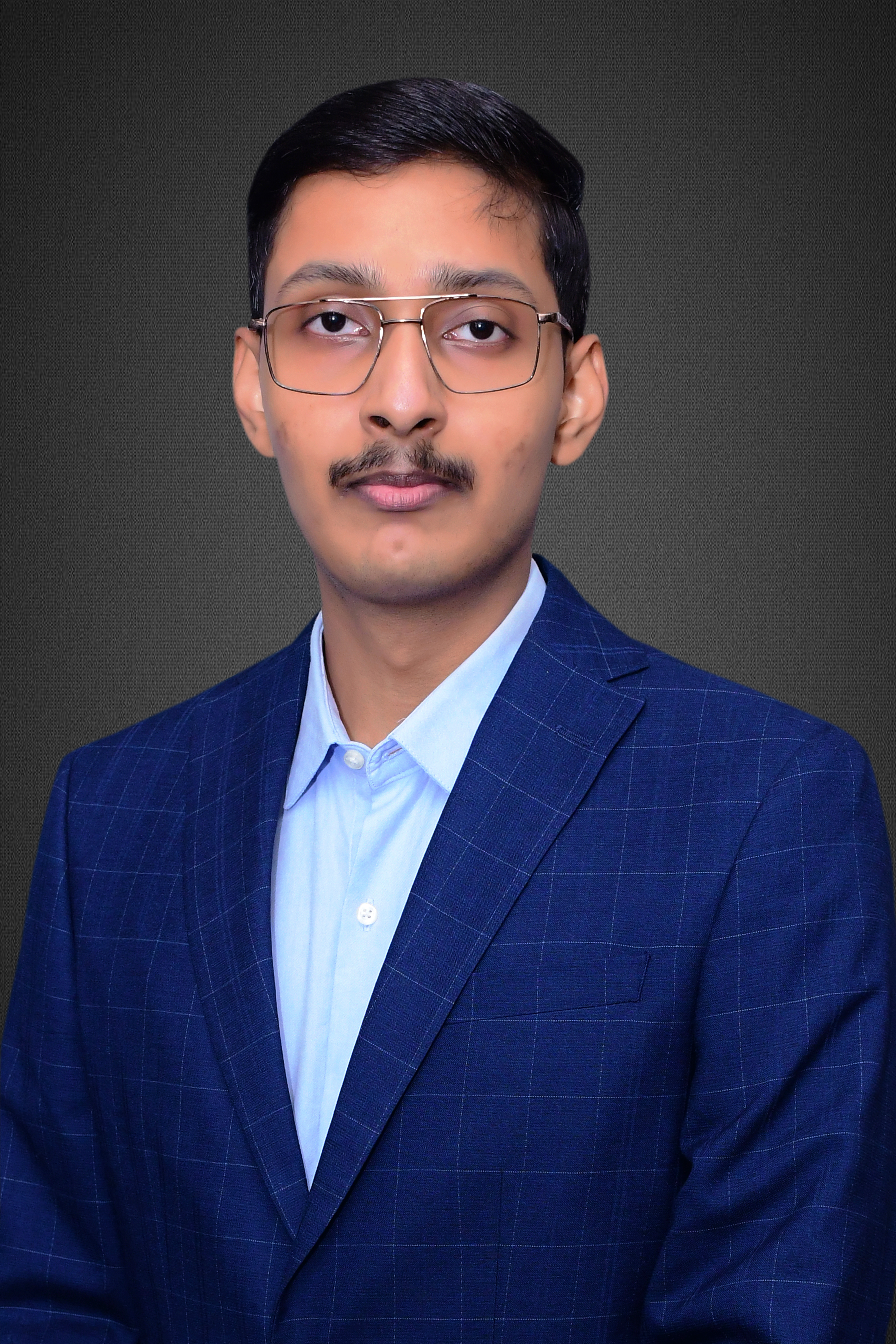
Ayush Dabra (PhD student) (link to profile)
I am a PhD student in the Geospatial Data Science Group at the University of Glasgow. My research focuses on developing multimodal generative AI models for understanding urban spaces.
I earned a BS-MS dual degree in Data Science and Engineering from the Indian Institute of Science Education and Research (IISER), Bhopal, India. My past research involves using very high resolution satellite images, multi-spectral UAV data, street view imagery, and photogrammetry derived digital surface models to understand dense and complex urban landscapes in Indian cities and suggest policy recommendations.
Currently, my primary research objective is to address urban planning challenges by developing empirically derived, data-driven, and AI-empowered policy tools. I leverage geospatial multimodal datasets (e.g., geo-tagged images and sounds) and devleop a range of deep learning techniques for cross-modality generation. The ultimate aim of my work is to contribute to sustainable urban development, enhancing the resilience of our cities and aligning them more effectively with the evolving needs of our society.
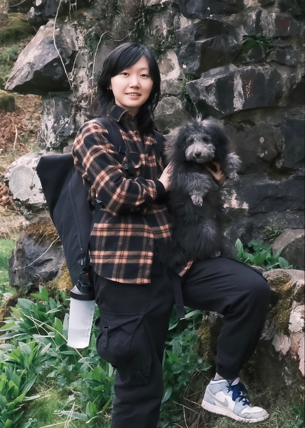
Zhimeng He (PhD student) (link to profile)
I am a PhD student at the School of Geographical & Earth Sciences, University of Glasgow, funded by the China Scholarship Council (CSC). My research primarily focuses on developing advanced deep learning architectures to enhance the extraction of building rooftops from high-resolution orthophotos. I am particularly interested in integrating Transformer architectures, involution, and E-Unet to address the challenge of extracting precise building contours in complex urban environments.
In addition to 2D image-based rooftop extraction, I also work on 3D point cloud classification and refinement for urban scene understanding. My current research involves experimenting with these novel models to improve the accuracy and geometric fidelity of building footprint extraction, particularly on large-scale datasets such as the Waterloo Building Dataset and the WHU Massachusetts Buildings Dataset.

Yuwei (Vivi) Cai (PhD student) (link to profile)
My research lies at the intersection of remote sensing and deep learning, with a particular focus on developing super-resolution (SR) techniques for Earth observation imagery. I am interested in both improving image quality through SR and understanding its impact on downstream geospatial applications such as building footprint extraction and land cover detection.
My current doctoral project aims to build a comprehensive framework for applying SR in remote sensing, alongside designing a new evaluation system that goes beyond traditional image quality metrics to assess how SR influences practical geospatial tasks. This work seeks to bridge the gap between algorithmic advances in SR and their real-world utility, ultimately supporting more accurate and reliable geospatial analysis.
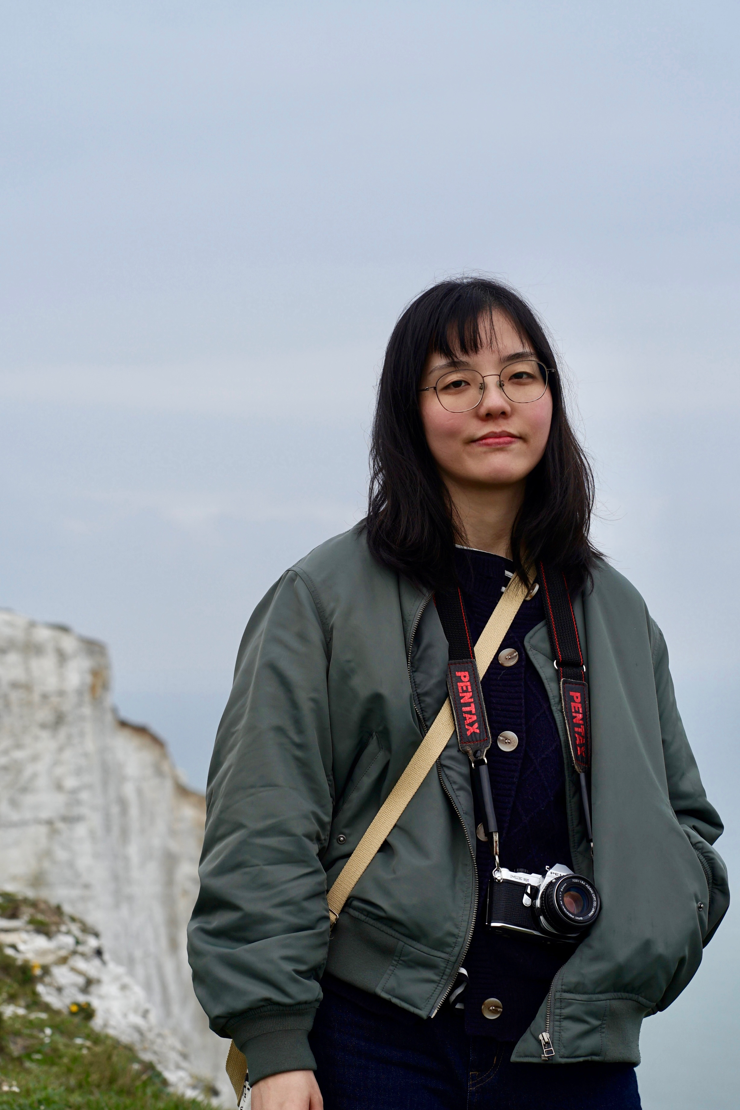
Yuchen Wang (PhD student) (link to profile)
My research focuses on anthropogenic mixed sand and gravel (MSG-A) beaches, an overlooked but increasingly widespread coastal environment. I developed one of the first integrated frameworks for understanding these human-influenced beaches by combining field-based sedimentology, UAV-derived geomorphological analysis, remote sensing, and machine-learning classification. I conducted detailed assessments of six MSG-A beaches in the Firth of Forth, Scotland, quantifying their physical characteristics and annual to storm-scale topographic evolution. At a broader scale, I am going to identify, predict, and map MSG-A beaches across the UK, Ireland, and mainland Europe using cloud-sourced images and LLMs enhanced by tailored spatial-context prompts. This work contributes to evaluate and measuring the impacts of various environmental and socioeconomic factors on MSG-A beaches in different regions. My work expands traditional beach classification systems to formally recognise anthropogenic mixed beaches and provides foundational data and insights to support future coastal monitoring, hazard assessment, and management in rapidly urbanising coastal zones.
Haiyu Zhang
Visiting PhD student · Joined 16 August 2026 · Six-month visit
We are delighted to welcome Haiyu to GIFTS Lab for a six-month research visit.
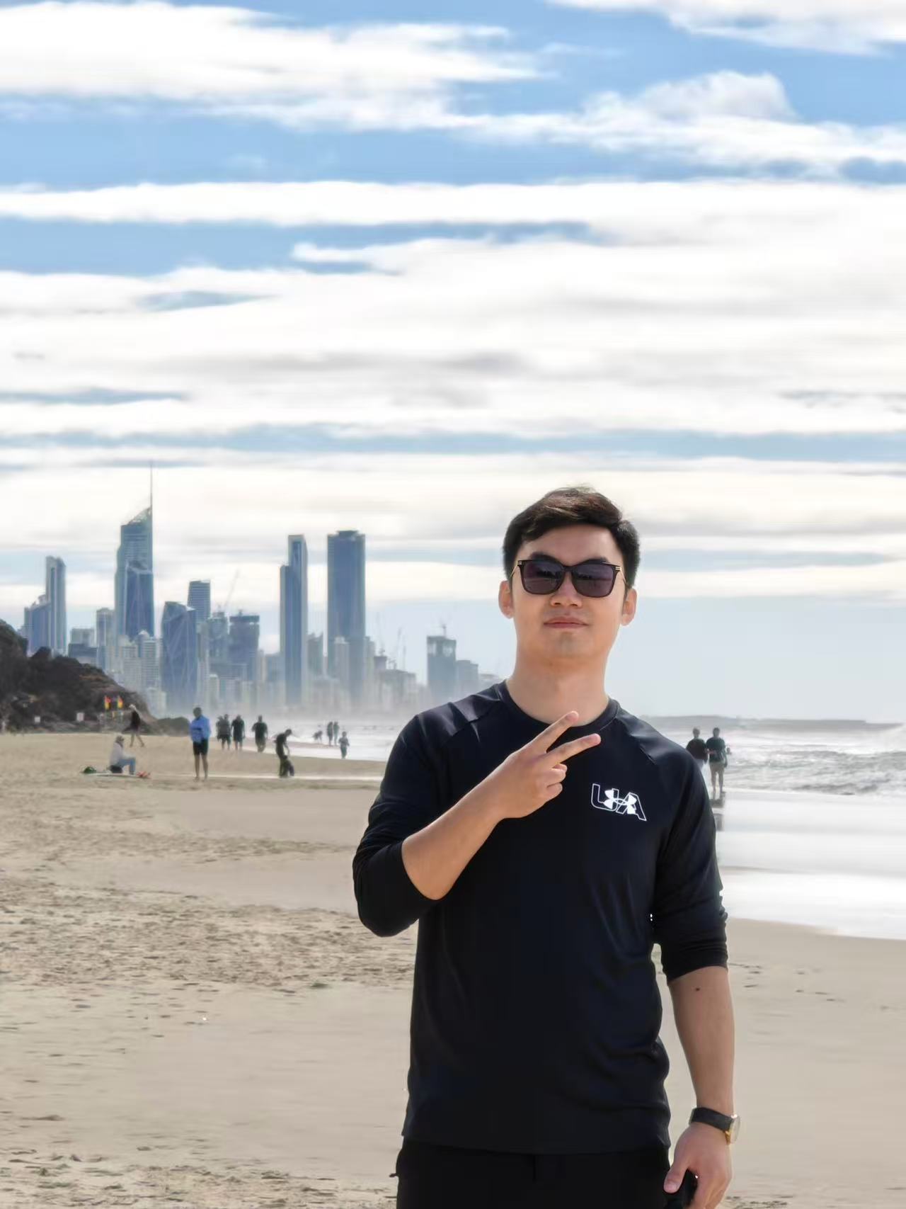
Ting Han
Former visiting PhD student · Sun Yat-sen University · October 2025–April 2026
Ting’s visit focused on Towards a New Era of Geo-Foundation Models. His research integrates deep learning with 3D point cloud processing, multimodal alignment and geospatial context awareness for remote sensing and urban analytics.
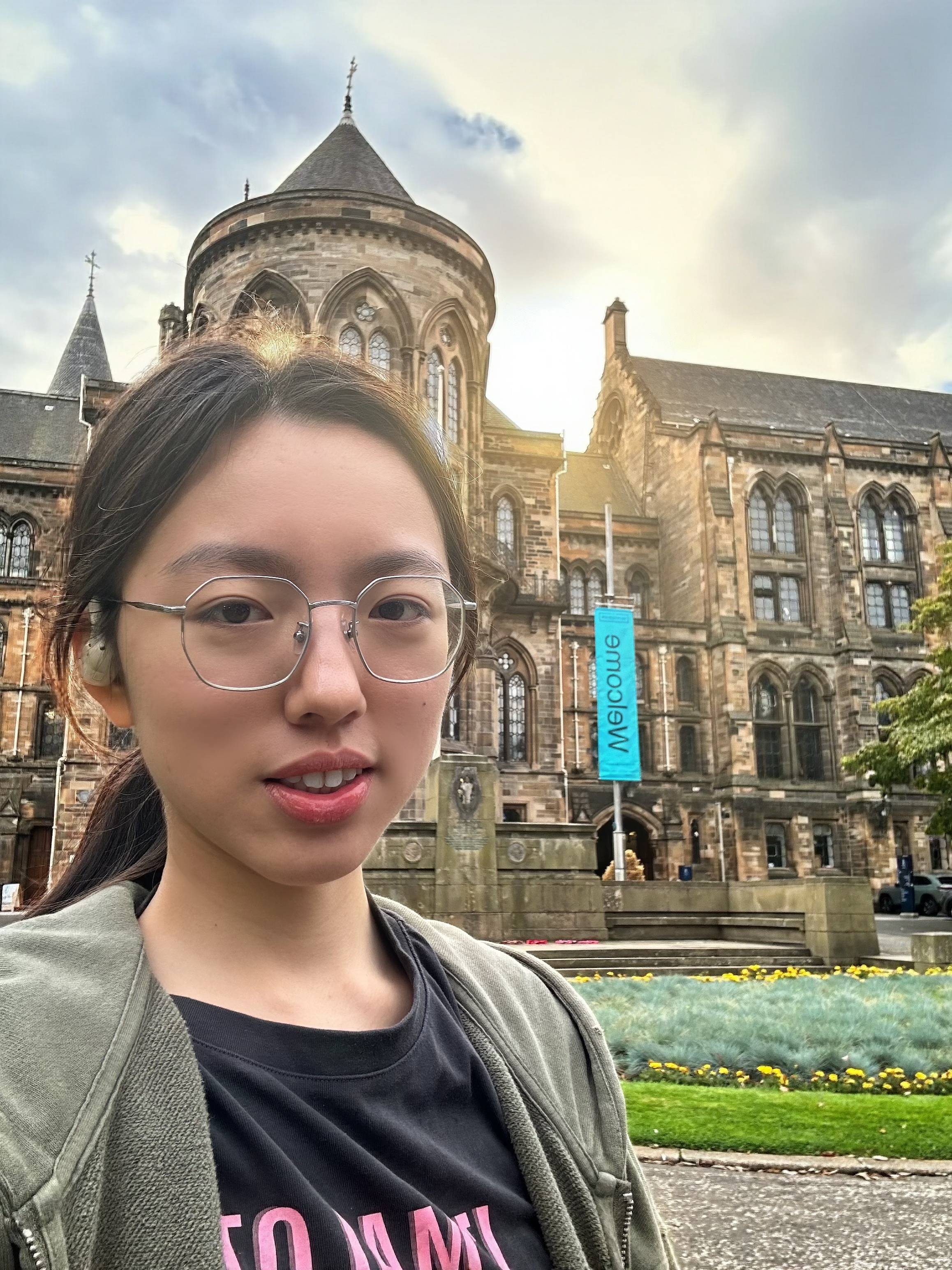
Hanyi Xiong
Former visiting undergraduate · University of Hong Kong · February–September 2025
Hanyi’s project explored enhancing image geo-localisation via GeoAI-empowered foundation models, connecting multimodal learning with spatial understanding.
Incoming students
- Mengkun Song — joining in October 2026; first supervisor: Meiliu Wu. Spatiotemporal Evolution of Streetscape Perception in Global Cities: A GeoAI Approach Using Multimodal Large Language Models.
- Zeyu Xiao — joining in January 2027; first supervisor: Meiliu Wu. Leveraging Spatially Explicit Graphs, Digital Twinning, and BIM to Enhance Perception, Localisation, and Navigation.